A leading University of Ulster academic, Dr Eamonn O Ciardha, features in a fascinating new BBC NIdocumentary which explores Northern Ireland’s vivid origins through a treasure trove of maps and stories.
Four hundred years ago, one of the most intensively mapped regions in the world was not the new territories of the Americas, or the exotic spice trails of the Far East. It was a place much closer to home – Ulster – among the first state colonisations of the new Great Britain.
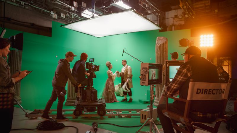
Mapping Ulster (BBC1 NI, Monday, April 29, 10.35pm) uses 21st century technology to bring these historic maps to life, animating detailed artwork of conquest and land development, analysing the social and economic data woven into the fabric of the maps, and using satellite imagery to pull 400-year-old landscapes into the present.
Collectively, the maps provide an extraordinary eyewitness guide to one of the most turbulent periods in Ireland’s history and trace the arrival and impact of Scots and English migrants in the 16th and 17th centuries.
The programme is fronted by leading Renaissance and mapping historian, Professor Jerry Brotton and features contributions from local academics including Dr Eamonn O Ciardha, from the University of Ulster’s Arts and Humanities Research Institute.
“This documentaryspeaksto a whole series of watershed events in the history of these islands,” said Dr O Ciardha.
“The Nine Years’ War (1594 -1603), the Flight of the Earls (1607) and the involvement of the City of London and the London Companies in the Plantation also provided subjects for a whole series of quarto-centenary conferences and symposia hosted by the University of Ulster.
“Programmes such as Mapping Ulster are both educational and entertaining and bring history to life in ways that the written word never can.
“Moreover these documentaries are excellent, alternative pedagogical and teaching resources, which enhance the classroom/seminar experience.”
The programme’s producer/director Andrea McCartney observed: “It’s difficult to imagine the world of 400 years ago. The maps help make that leap.
“The map makers are artists. They have drawn the timber-framed houses, the forests and the castles, and noted the names of the people who lived there. The detail is incredible.
“They were as innovative in their time as satellite mapping technology is today. What’s really exciting is that they provide a visual record and fresh perspective on the Plantation of Ulster.”
*Mapping Ulster is a Hardy Pictures production for BBC Northern Ireland, part-funded by Northern Ireland Screen’s Ulster-Scots Broadcast Fund. It will be broadcast on BBC1 NI, Monday, April 29, 10.35pm.
NOTES FOR EDITORS:
University of Ulster academics Billy Kelly, Dr Eamonn O Ciardha, and Marie-Claire Peters have co-edited two major collections on the Flight of the Earls (Guildhall Press, 2010) and The Plantation of Ulster (Manchester University Press, 2012), two commemorative editions of History Ireland (2007, 2009), has participated in series of historical documentaries on the Flight of the Earls (2007), The Plantation of Ulster (2011); Wolfland (2013); Derry's Walls (2013), The Siege of Derry (2013) and Mapping Ulster (2013) which have been broadcast by RTE, TG4 and BBC NI in the last six months.