What is CMAP?
Our coasts are facing a combined climate and biodiversity crisis with species loss, impacts from rising sea levels and increased storm activity causing erosion challenges and reducing resilience of our coasts.
How we plan recovery from this crisis, is a significant challenge for local authorities, communities and government departments.
As a single biogeographic unit, Ireland faces the brunt of Atlantic storms whilst hosting a rich and diverse array of marine flora and fauna. This will require policy alignment and active environmental cooperation between both sides of the border.
For a harmonised regional approach, issues must be tackled at a regional scale, incorporating the skills, knowledge, and experiences of local communities.
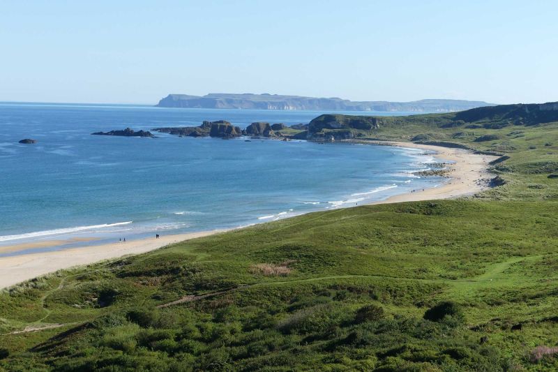
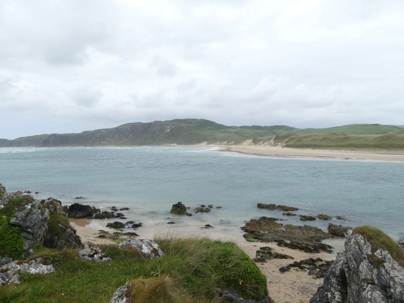
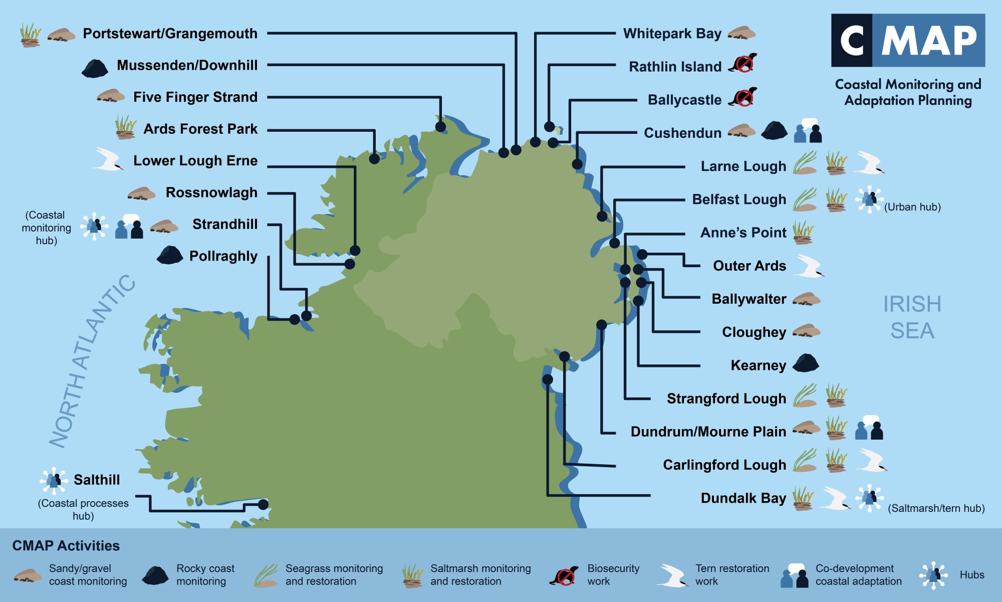
CMAP's work will help interweave local action and citizen science at a range of 15 coastal sites incorporating Counties Sligo, Donegal, Londonderry, Antrim, Down and Louth.
This collaboration will enhance understanding of coastal processes, habitats and species, while addressing community concerns.
Scientific measurement and habitat and species restoration will be complemented by community-based activities, offering a forum for exchanging experiences with coastal change issues and responses, benefiting communities on both sides of the border.
Building a Sustainable World
"By combining scientific research with community engagement and cross-border collaboration, we can develop much more appropriate strategies to address erosion, biodiversity loss and changing coastal dynamics."
A PeacePlus project
The project is supported by PEACEPLUS, a programme managed by the Special EU Programmes Body (SEUPB) through provision of a grant up to €9.6 million.
What does CMAP aim to achieve?
The CMAP project will help create sustainable adaptation to the threats posed by climate change and will in turn provide decision-makers and stakeholders at the coast with:
- specific information on the nature of coastal change (that does not currently exist);
- understanding of coastal change (that requires education);
- awareness of adaptation options and their implications;
- feasible, evidence based options and routes to habitat and species restoration to mitigate impacts.
CMAP will benefit a significant number of groups in both Northern Ireland and the Republic of Ireland associated with the coast, namely:
- Local authorities through improved coastal management and increased data provision to better understand the physical and ecological environment;
- Conservation groups by improved scientific study and data of the environments they are tasked to protect;
- Coastal communities (including Rathlin Island) will have a more sustainable and protected coastal environment by new enhanced datasets;
- Scientists at Universities will gain important new insights into how the coast functions over various time scales and helping plug existing gaps in environmental monitoring data, to better manage the impacts of climate change at our coasts.
CMAP's Data Outputs
Datasets produced will be added to the data repositories of Northern Ireland and Republic of Ireland government departments, ultimately providing the basis for science-led management.
Collecting relevant data on contemporary (and past) environmental conditions, will ensure a better understanding of future responses to climate change impacts.
Why do we need CMAP now?
We are in a nature and climate crisis. The recent state of Nature Report (2023) highlighted that Northern Ireland is ranked 12th worst in the world for biodiversity loss out of 240 countries surveyed.
A recent 'coastal screening tool’ produced by Climate Central has predicted a Northern Ireland sea level rise of around 15cm by 2050. We
must act now to adapt to changes in our coastline and the knock-on, devastating effect this will have on coastal communities, habitats and species.
CMAP is a first of its kind project on the island of Ireland, specifically designed to address key areas of coastal change and natural capital through a uniquely cross-disciplinary approach.
Why is CMAP important?
To develop a sustainable approach to this challenge and encourage the adoption of different approaches is a key challenge.
Current legislative tools in Northern Ireland and the Republic of Ireland support and maintain a "hold the line" response to the threats posed by coastal erosion to human activities.
At a time of rising sea level, erosion will accelerate and become more widespread, creating ever more challenges for communities and managers.
A continuation of the defend option would lead to degradation of the coastal environment and its ecosystem services because intertidal habitats would be prevented from moving landward.
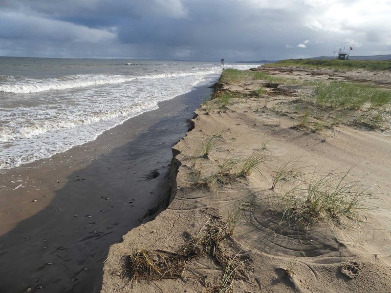
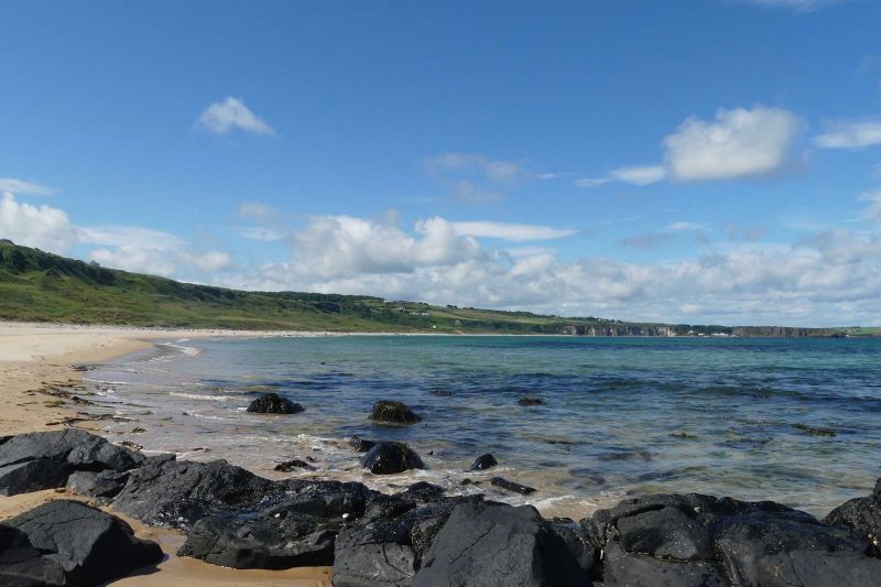
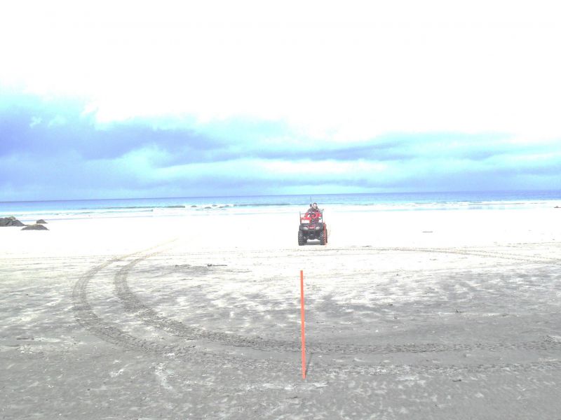
Project Sites
Three Distinct Work Packages

To develop and apply monitoring protocols to assess temporal physical change on sand, rock and saltmarsh coasts to generate baseline datasets that reflect seasonal, inter-annual and storm driven change at selected sites.
In most cases, these datasets will give the first information on temporal change in these environments, laying the foundation of future monitoring activities in support of climate-change adaptation planning.
To focus on intertidal and subtidal blue carbon habitats, saltmarsh and seabirds.
These elements are in the front line of sea level rise, changing storm action and replacement by coastal defences.
Recovery of these habitats and species needs to be embedded in all coastal climate change adaption and mitigation planning.
To engage, inform and empower local and cross-border communities, as well as the wider public to understand, take part and codevelop monitoring strategies for our coasts, coastal habitats and species.
To build public understanding of marine and coastal pressures, whilst influencing transboundary policy and coastal decision making.
To engage local communities in the development of living Coastal Community Climate Adaptation Plans in Cushendun, Dundrum and Strandhill. Including assessment of vulnerability and the local impacts from climate change, prioritisation of adaptation actions to improve coastal resilience and co-developing an action plan to improve coastal management.
Project Partners
The CMAP project brings together a diverse group of 19 organisations from Northern Ireland and the Republic of Ireland with important expertise, experience and existing resources, essential for addressing coastal restoration challenges.
The partnership includes:
- Ulster University (lead)
- University of Galway
- Trinity College Dublin
- University College Cork
- Ulster Wildlife
- Causeway Coast and Glens Heritage Trust
- Geological Survey of Northern Ireland
- Royal Society for Protection of Birds(NI)
- The National Trust (NI)
- Northern Ireland Environment Link
- Newry, Mourne and Down District Council
- Louth County Council
A strong network of Associate Partners will also bring a wide range of skills, knowledge, and expertise to CMAP and will include: 2 Climate Action Regional Offices - Atlantic Seaboard North and Eastern and Midlands; Donegal County Council, Galway City Council, University College Dublin , Belfast Harbour and Sligo County Council.
Lead Partner Contacts
Professor Derek Jackson
Professor of Coastal Geomorphology

Bronagh McGeown
EU Project Manager